The Basics

deliver the information your customers want

Simple Cost Effective Web Mapping

We create responsive and secure mapping software built using the most modern technology. Manage millions of data points - be prepared for the Internet of Things

The Details

Manage your spatial data in the cloud

Internal and external web tools

Safe and Secure

Use Amazon Web Services for high performance storage and retrieval. Significant savings over traditional methods.

Modern Tools

Systems designed with commercial as well as non-proprietary open tools. We have extensive experience with the latest GIS development environmnets.

Incredible Speed

Systems have been tested with many millions of features. We can deliver highly functional web based maps seamlessly at very low cost.

Enhance Existing Infrastructure

Work with existing spatial systems. ESRI map services and data sets can easily be incorporated.

Rapid Development Cycle

Have web maps up and running in as little as a few hours. Small, mature and very powerful code base allows for instant results.

Take a look at some features of our technology here.

Hundreds of Thousands in Savings

The barrier for companies to get into web mapping has been huge - until now. The software world has been simplified, this revolution is happening in GIS.

Projects
gis real estate

Real Estate Listing

Intuitive map for letting your custumers get to the important information. This product is easily customizable for your organization's requirements.

opensource gis

Medical Real Estate

Use Demographic and competitor analysis to optimize the location of medical clinics and related services.

gis nature

Property Booking System

Full booking system for Nature Conservancy properties. Simplifying and monitoring the access to natural areas, this solution gives equitable access to everyone.

oil and gas land-sales

Petroleum Land Sales

Western Canadian Oil and Gas Land Sales. The most comprehensive map available for Petruoleum Land sales. This site is consulted by thousands of industry experts.

gis uav drone opensource

Drone Flight Planning

Canadian Air Space charts to aid in safe UAV operations. This site allows the user to draw, edit and export UAV missions in KML format.

well pad, fracking

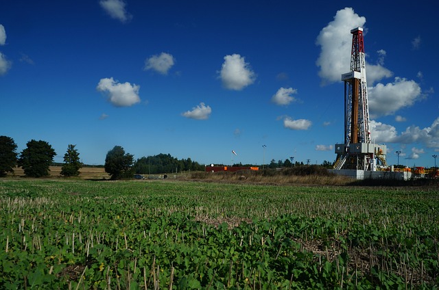
Well Pad Planning

Simple interface for editing the layout of Well Pads. Save hundreds of hours creating drilling plans. Remain compliant and maximize profits.